
|
CURRENT TRAFFIC MAPS (updated continuously) |
||
|
ILLINOIS: |
||

|
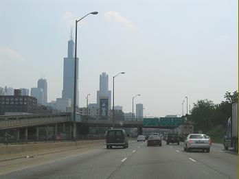
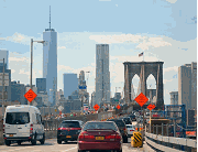
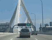
2008 photo by Steve Anderson. |
||
|
In-depth histories, exit lists, and current traffic conditions for individual expressways categorized by geographic area. Includes information on unbuilt highways. |
||
|
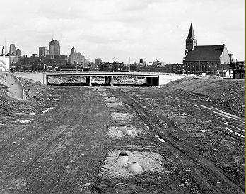
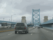
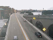
1959 photo from Chicago History Museum archives. |
||
|
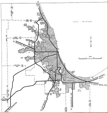
Maps and History |
||
|
Old maps and planning studies covering the development of the Chicago-area arterial systems. |
||

|
OTHER EASTERN ROADS SITES: |
||


|
|
||
|
Have a video from the road? |
||
|
(c) 1996-2014 by Eastern Roads. All rights reserved. Photo and content credits are noted throughout this site. Privacy policy is available online. |
||